Industries
The applications for aerial imagery, mapping and data from drones are endless. We have compiled a quick-hit list below, however, of some of the most popular uses.
Don’t see your industry included on this list, or an application here that suits your needs? Let us know, and we’ll work together on a customized solution!
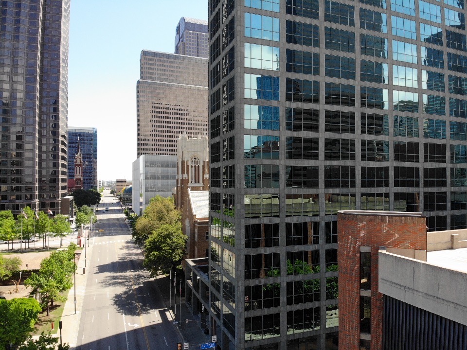
RESIDENTIAL/COMMERICAL REAL ESTATE
Make your listings stand out with high-resolution, aerial images or ultra high-definition video (according to MLS statistics, homes with aerial images sell 68 percent faster).
Wow clients with 3D site & structure modeling.
Use geo-referenced, annotated maps to show potential buyers nearby features & amenities.
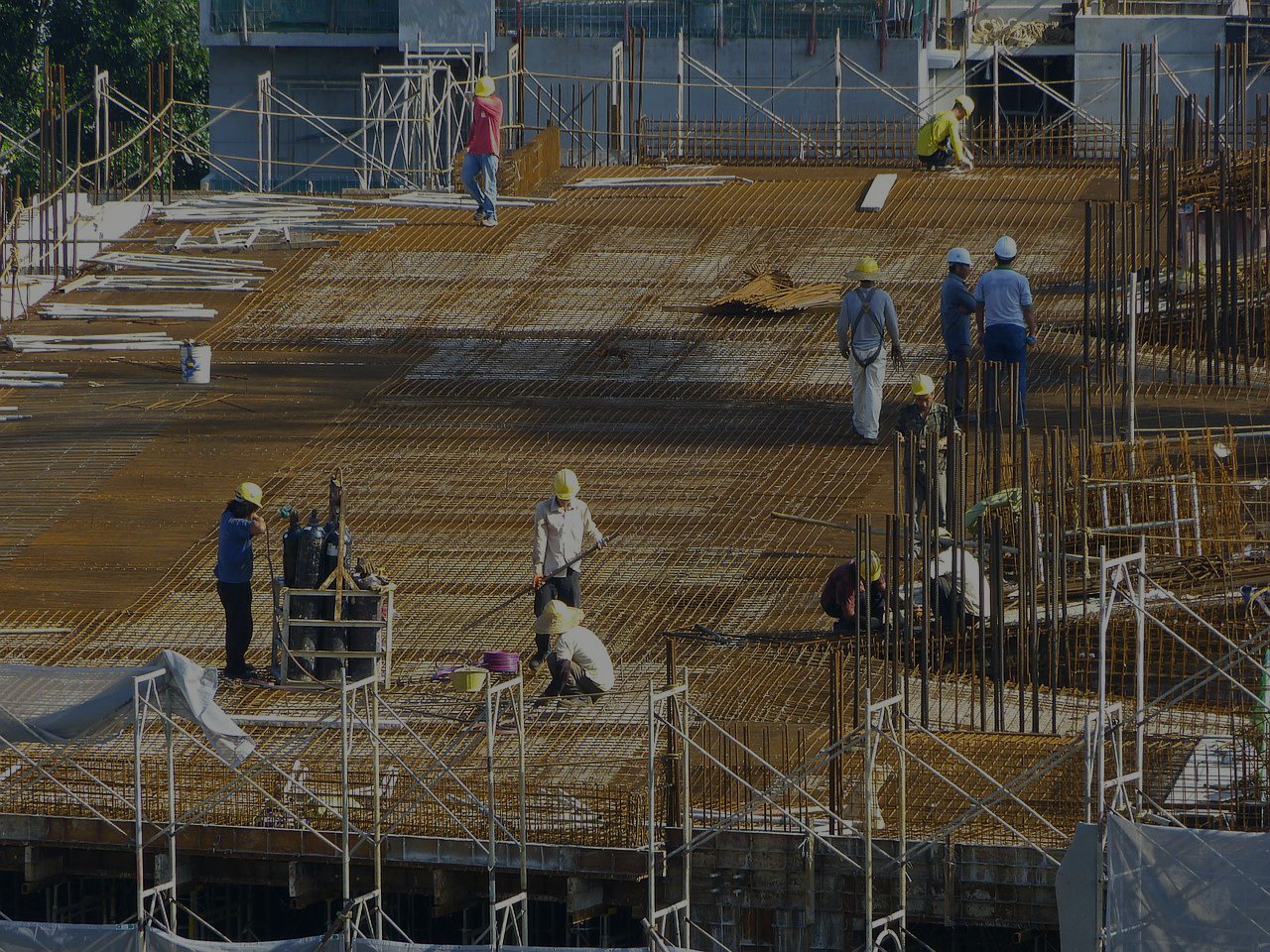
Construction
More affordable than aerial images from full-sized aircraft.
Safer/more efficient than using ground personnel for surveys/inspections/reports.
More frequent, complete and up-to-date data for project management/progress reports.
Generate architectural overlays, 3D site & structure modeling.
Volumetric measurements (useful for monitoring stockpiles of costly resources like gravel and sand).
4K ultra high-definition cameras provide more precise details (i.e. cracks/corrosion) from above.
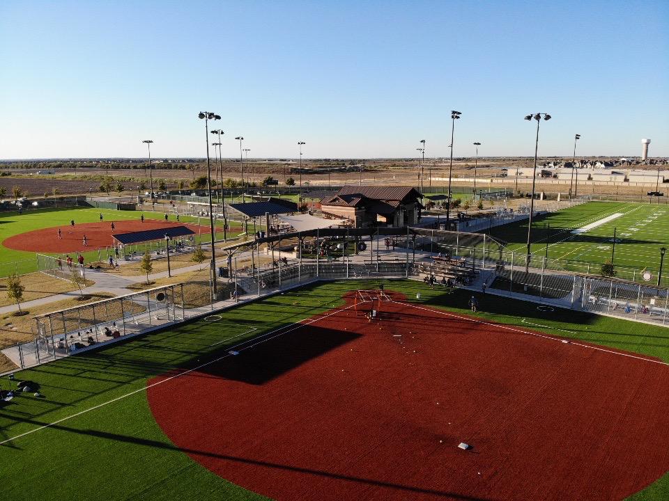
Surveying and Aerial Mapping
Right-of-way/dike surveys.
Fully automated, safer, cost-effective inspections of pipelines, flare stacks, topside, under deck, splash zones, etc. (and no down-time/shut-down).
Oil spill measurements.

Insurance & Claims
Economical and safe way to do costly inspections for claims and risk evaluation.
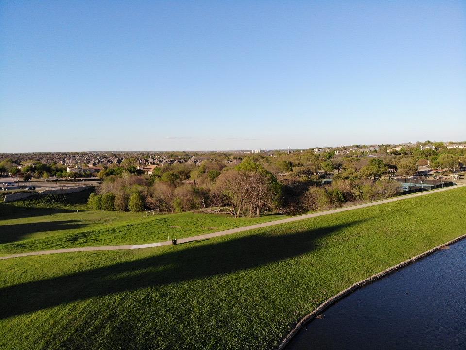
Agriculture / Ranching / Environmental
Cut costs, increase yields with more precise, timely data via aerial mapping.
More accurately assess crop health/damage (near-infrared/NDVI).
Plan irrigation & drainage repair.
Monitor livestock/wildlife.
Crop scout to detect parasites, fungus.
Compile plant counts/analyze plant establishments.
Generate better variable rate prescriptions.
Utilities
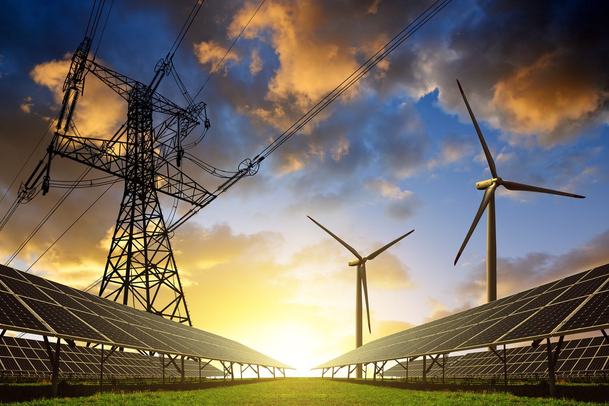
Right-of-way surveys.
Safer, quicker, automated field inspections.
More precise, cost-effective assessment of maintenance needs.
LiDAR-generated topographic point cloud surveys for mapping out power lines.
High-resolution aerial imaging capturing the smallest risks in grid components.
Quick assessment of storm/disaster damage.
Thermal imaging detection of loose connections.
3D maps of nearby vegetation.
Telecom
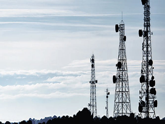
Tower inspections (LiDAR/topographic point clouds).
Radio planning.
Line-of-sight testing.
Network optimization ahead of large-scale events.
Military / Law Enforcements / First Responser
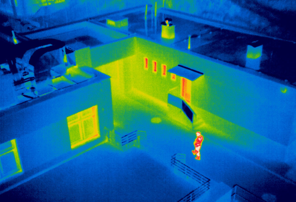
Search & rescue (thermal imaging).
