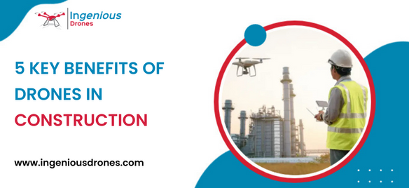
A drone is mostly utilized in the construction sector for surveying and inspection tasks. Drones use downward-facing sensors like RGB, multispectral, thermal, or LIDAR, and they can quickly gather a lot of aerial data.
Drones are equipped with multiple features to help capture key data on building sites. The information they collect can be sent to a computer via drone software, allowing users to analyze, interpret and organize collected data. It makes the production of weekly progress maps far quicker, easier, and less costly than traditional ways. They also facilitate greater and easier information exchanges between construction companies and their client.
Drones in construction offer advantages beyond inspections. We examine five advantages of drones during construction and raise awareness of this worked technology.
Reduce Safety Risks: Managers are concerned with safety issues; the old way of doing things was to walk around the plant and take a look. It seems sensible because a human pair of eyes and ears on the floor will be able to quickly recognize any problems with safety. But with the use of a drone and monitoring device, safety managers can see what is happening in real-time, and which areas or issues need to be improved.
Construction managers are looking to prevent accidents and injuries with drones. Drones will help reduce the risk of worker injury as the photographs and videos help everyone see what’s going on at the site.
A Better and More Affordable Construction Marketing Strategy: The greatest way of showing a part of a project is through images and videos, but many contractors are using progress shots or aerial photographs taken from helicopters or planes to justify their position. These have their own disadvantages, including those related to time, quality, cost, adaptability, and safety.
However, drones offer a cost-effective imaging technology that addresses all of those issues and they are useful for constructing marketing projects in addition to being used as surveying equipment.
More Accurate Mapping Measurements: Traditional surveying methods take time and need human work for data collection and processing. Starting with high-resolution photo and video capturing, a drone can do the task far more rapidly and inexpensively than conventional techniques. It can do the same or better surveying a job in 60 to 70 percent less time. Further, Drones help to examine hazardous or challenging construction causing no risk of people.
A More Useful Way to Track Construction Progress: When new technology comes along, it’s tempting to discount it as just another shiny new toy. But drone photography is a practical way to solve old problems, such as the challenge of monitoring construction progress.
Periodic picture shoots at the same angle, position, or height are difficult to pull off. Drones offer simple solutions with weekly flights that ensure your progress images and reports always look professional and include the crucial data you require. This procedure can be improved more productive and less expensive by eliminating variations.
Improved Communication: Anyone working in the construction sector knows aware of how crucial communication essential. It becomes crucial to keep an eye on the larger picture with the arrival and departure of so many various kinds of contractors, changes in the state of the job site, weather variations, and other factors. And those broad perspectives are shown in drone photos.
The team gains a unique, helpful viewpoint from the aerial view. Supervisors can easily identify or expect any access challenges, potential drainage issues, or hazards to health and safety by sitting down with a high-resolution drone map. Then they can handle issues and talk about them with their team more effectively.


Recent Comments