Aerial imaging of construction sites is a reliable, cost-effective instrument that enables contractors and land developers to efficiently control all stages of construction development, from preparation to completion, while keeping plans on track, remaining within the budget, and providing stakeholders with accurate information along the way. Our aerial photography and video services can capture every angle of your project and incorporate a range of technologies that can be used for the following:
Construction Site Aerial Photography Services:
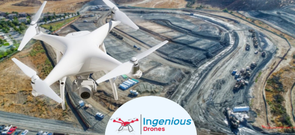
Drone service in the United States to development sites. Using high resolution, infrared and other data capturing methods and use the datasets to construct extremely detailed maps and/or site overviews. You will have a greater understanding of the area, can schedule your construction and building locations more efficiently, and provide up-to-date and reliable information to your customers.
Evaluations of Land Consistency:
To evaluate detailed information and data related to the soil and soil quality before you break ground, we incorporate advanced technologies, including thermal and multi-spectral imaging. These technologies assist in identifying heat loss and water leakage inside the buildings after completion.
Monitoring & Project Management:
Drones are certainly able to enhance the way progress is controlled, tracked, and recorded during a construction project by providing specialized visualization tools, invaluable aerial photographs, and the ability to inspect infrastructure. We can provide you with a detailed look because we capture your project from a range of viewpoints, attitudes, and distances, which can also help recognize problems and issues that would otherwise be overlooked, saving you time and resources, and providing you with safe time-stamped visual documentation.
Site Inspections:
Drone construction and development services allow you to get the detailed, in-depth inspection you need while providing a more secure environment for your crew.
Recent Comments