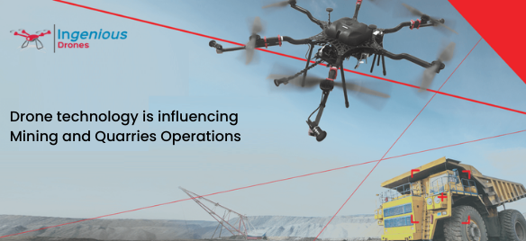
Drone mining surveying allows a professional to get particular Aerial data on mining sites for purposes such as increasing productivity, planning, safety, and inventory management. Drones Mining Surveys are UAVs equipped with RGB cameras that capture images of a location from multiple angles in the mining business.
Mining companies can also quickly calculate the exact volume of stockpiles or excavated regions. Safety berm heights; road limits; widths; crests; slope, length, or elevation change are some of the manufacturing data that exploration and mining technology may create. Additionally, artificial intelligence in the software can automatically indicate those that do not meet the criteria or pose a risk to the workers’ safety.
- Monitoring and tracking: Mining is regarded as one of the most dangerous sectors in which to work. Mining operations expose workers to a variety of hazards, including rock falls, excessive humidity, gas leaks, dust explosions, floods, and other unpleasant events. UAVs and drone technology have been used in the mining industry for real-time monitoring and inspection of deep holes. Inspection of mining equipment, which used to necessitate highly skilled personnel, may now be done in a more cost-effective and time-efficient manner. Drone Aerial photographs obtained using Geographic Information Systems (GIS) and high-grade quality RGB sensors are more precise and dependable than any traditional monitoring and inspection approach.
- Road Optimization: Drone data makes it simple to regularly monitor haul road conditions and allows more precise traffic planning. With a few clicks, the top management team should evaluate haul road lengths, analyze slopes and gradients, or check roads against security and maintenance criteria using data analysis features offered within Spin. Drone data is used to improve road and traffic management, which leads to higher mobile plant efficiency and shorter cycle times.
- Drilling and explosion: For site managers responsible for planning and conducting blasting activity inside an open-pit mine or quarry, regular drone flies are the finest source of timely, trustworthy information. A drone can cost-effective survey any explosion area. The Propeller Platform takes the raw data and transforms it into precise 3D models, orthophotos, and digital point clouds, making drill depth calculations and analysis a breeze. A more blest drone survey can provide data such as rock type variation in a bench, face angle, block condition, and quantities.
- Mapping and Surveying: Aerial surveying and mapping are two of the most painful and time-consuming procedures that the mining sector should perform on a daily basis. The cost of precise aerial photography is 90% cheaper than that of a typical pilot plane if using greater drones and a skilled drone pilot on-site. The GIS data collected can be converted into 3D models and accurate ortho-images with volumetric measurements.
- Checks for safety: Everyone in the mining and aggregates industries understand the importance of worksite safety. Drones are used to do remote surveys and inspections, which keep employees away from potentially risky situations such as the bottom of the pit, block caves, and high-traffic zones. Drone data also helps workers in detecting and monitoring job dangers, hence enhancing overall site safety.
Recent Comments